Find the Site Data for Any Property in the US
Site Data and Digital Design Tutorial
When we started offering design services we spent countless hours looking for useful and accurate site data. We had to hunt for physical county maps, weather reports, and soil surveys. These days, all of this information is freely available online if you know where to look.
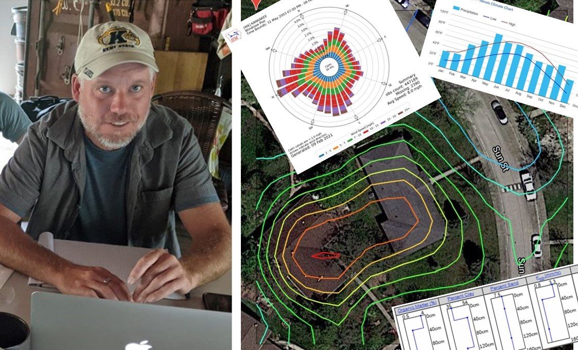
After finding site data and developing a design, we also had to find a way to present our findings to our clients in a way that was clear, professional, and visually pleasing. Hand sketches were not cutting it for us.
Over years of trial and error we found that just by tweaking some of the basic features of PowerPoint (or Google Slides, its free online alternative) we were able to create very professional-looking permaculture designs and do so with simplicity. We don’t use large, complicated programs to come up with clear design maps. And the maps we do create can have as much or as little detail as we like.
This tutorial package delivers clear instructions on how to do it all. There are years of research and trial and error here, available at your fingertips. Enjoy!
This Tutorial Package includes 5 Items
#1
.PDF: From our Free Resources: A step-by-step guide of exactly how to access the same site data gathering programs we use all the time with great success. Incredibly helpful data. All are Available as Free Downloads if you follow the instructions carefully. Download PDF here
#2
VIDEO: “Gathering Online Site Data” gives step-by-step visual instruction of how to access site data, and shows how to read and apply site data to your design. (1-hr. 7-mins.)
#3
VIDEO: “Digital Site Design Creation” shows the basics of creating a professional-looking permaculture design in Powerpoint or Google Slides. (1-hr. 40-mins.)
#4
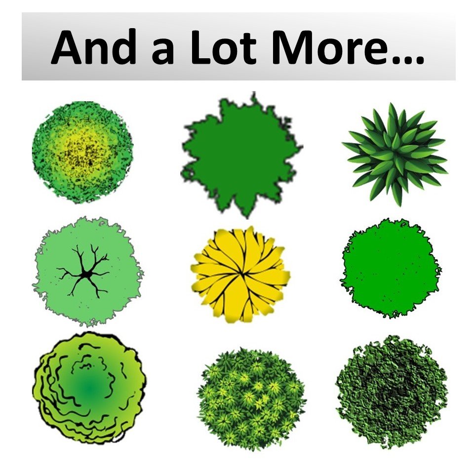
.PPT: Accompanying PowerPoint that gives you the graphic tools we use to design (Plant vector images, scale bars, compasses, etc.)
#5
.PPT: Copy of the actual design we created during the video in real-time for you to download and learn from.
Price: $20.00
Amazing. Just this one small part of the PDC course is worth the price of the entire training. This is so very interesting and helpful. It's a game changer for me. I love how you folks at Midwest Permaculture make the complicated seem so easy to understand. Many thanks!
James M. - (47) New Home Owner
Examples of the Site Data and Basic Design Mapping
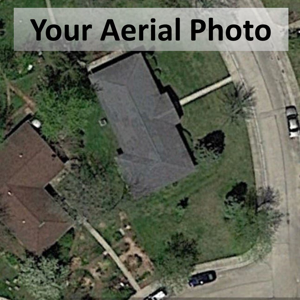
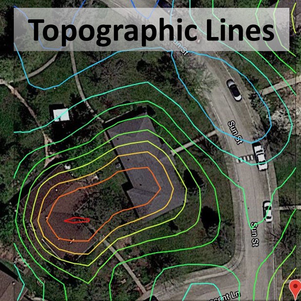
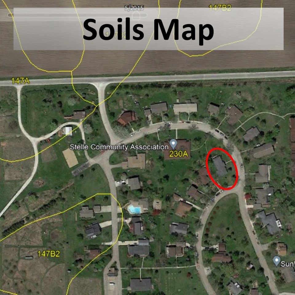
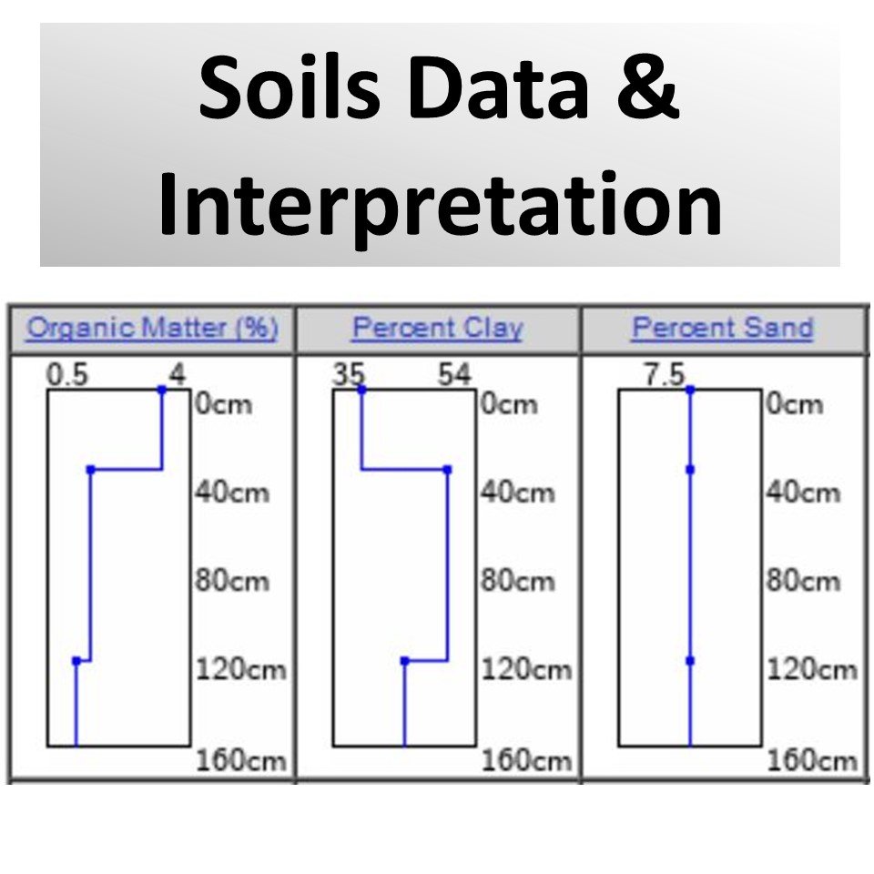
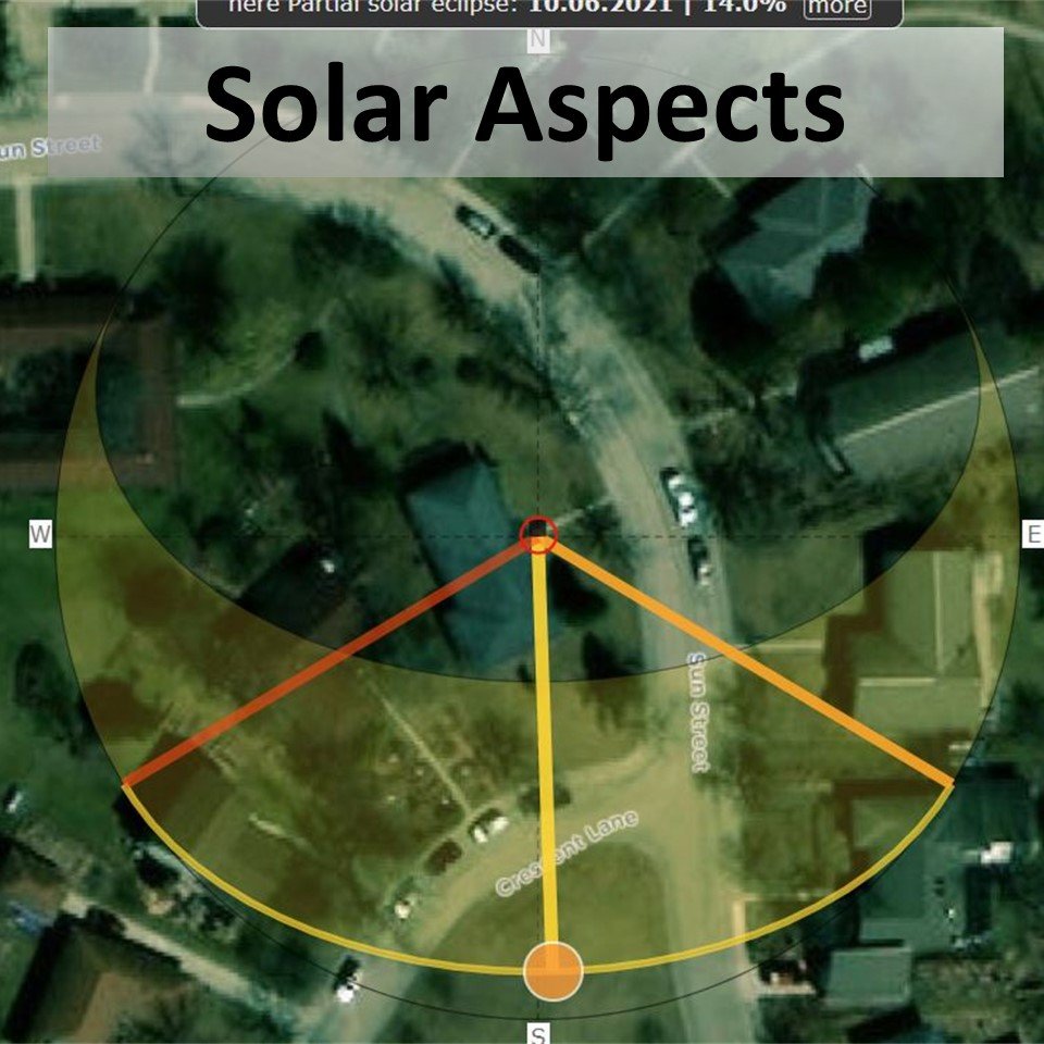
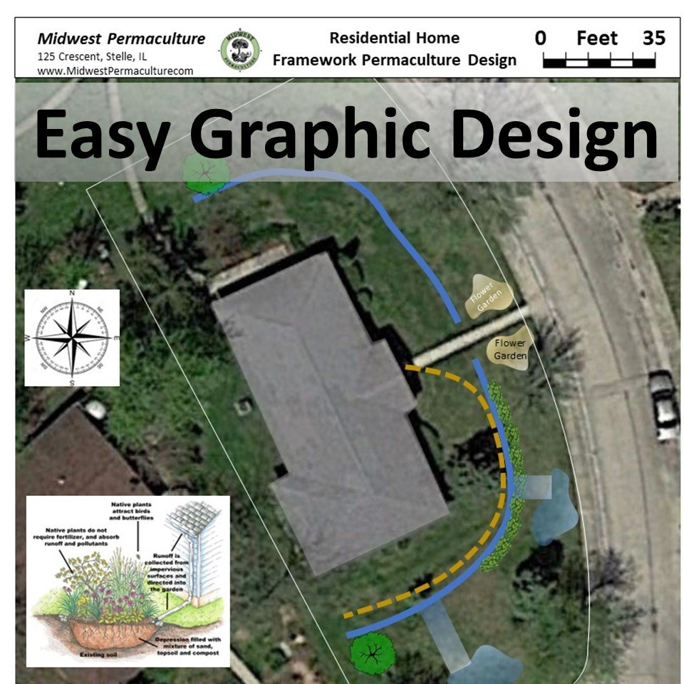
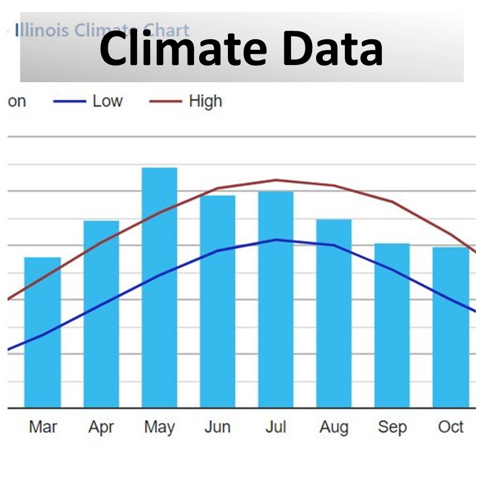
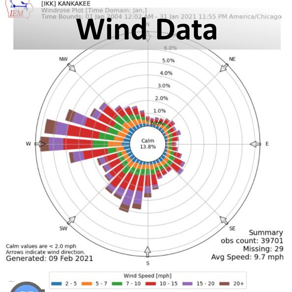
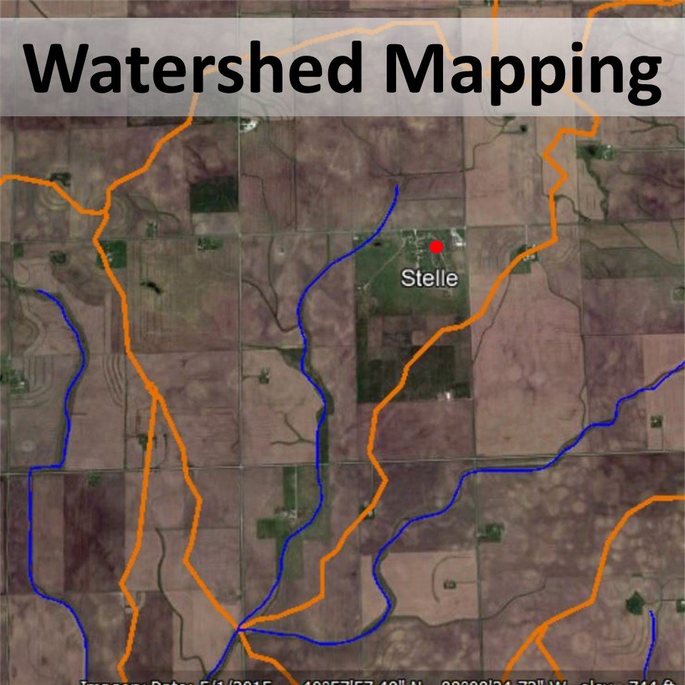
Please Note: The data collected from the internet is not always 100% accurate and requires further physical verification before implementing a real design. But still, it gives us a very good idea of the site conditions before stepping on to the property.
We hope that this information enables people to make more informed design decisions, avoid type 1 errors, and make lasting transformations to the places they inhabit.
Good luck with your own project… Bill Wilson and the MWP Team
